Certifications and Credentials
A combination of academic qualifications, professional certifications, and recognition for service and leadership in the geospatial community.
Academic Qualifications
-
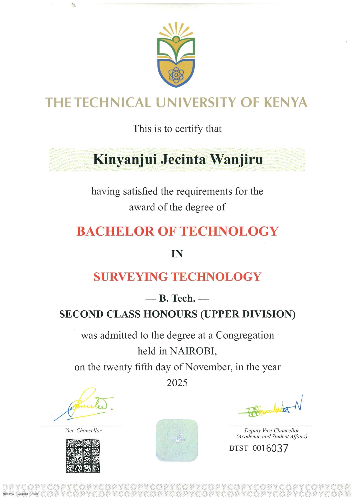
Bachelor of Technology in Surveying Technology
Technical University of Kenya | 2021 to 2025
2nd Class Honours, Upper Division
Recognition and Awards
-
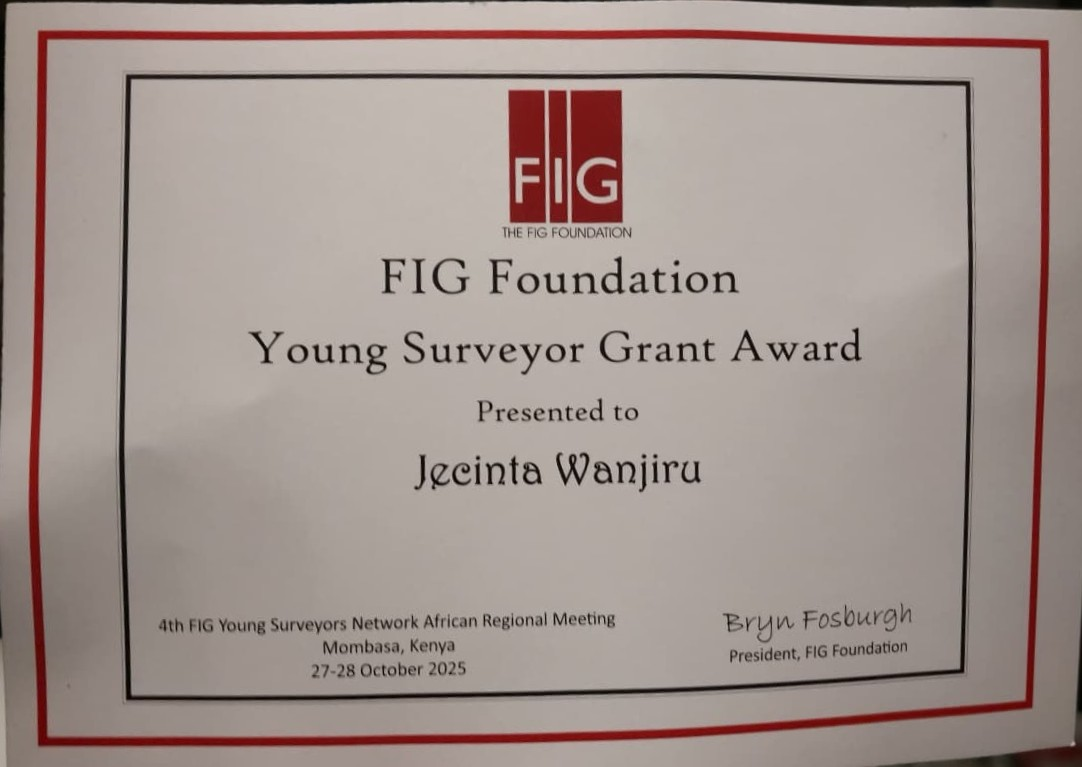
2025 FIG Foundation Young Surveyor Grant
International Federation of Surveyors
Awarded globally by FIG to outstanding emerging professionals, recognised at the 4th FIG Young Surveyors Africa Meeting (4YSAM), held alongside the 10th ISK Africa Regional Conference and 28th CASLE Conference in Mombasa, October 2025
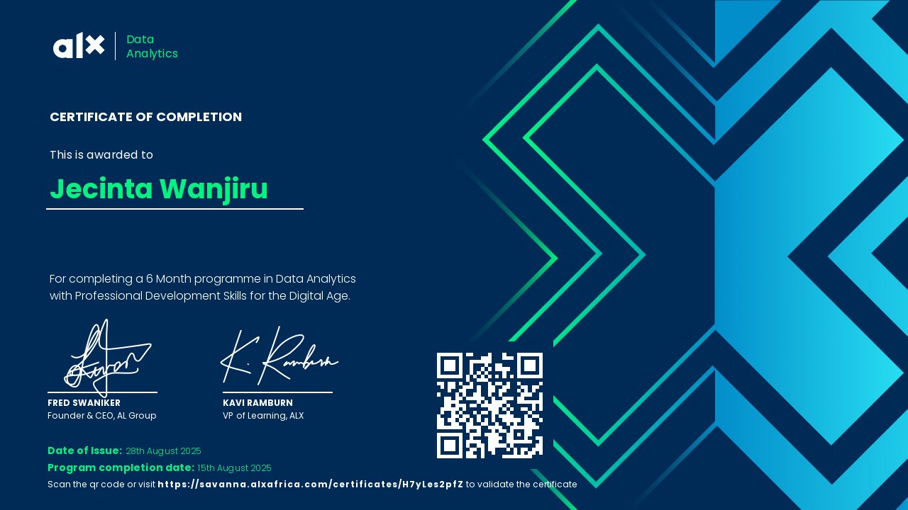
Professional Certifications
ALX Africa
-
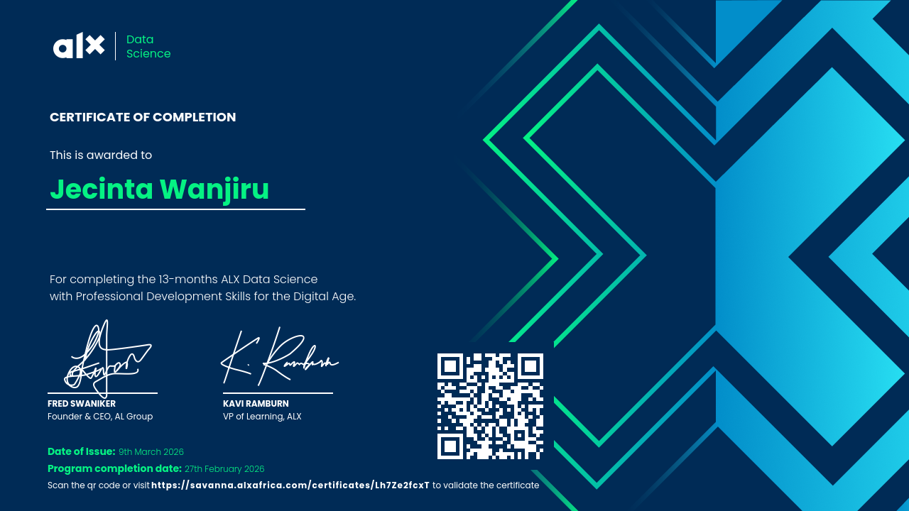
Data Science
Completed 27 February 2026
Foundations of data science, statistical analysis, and applied machine learning for real-world datasets.
-
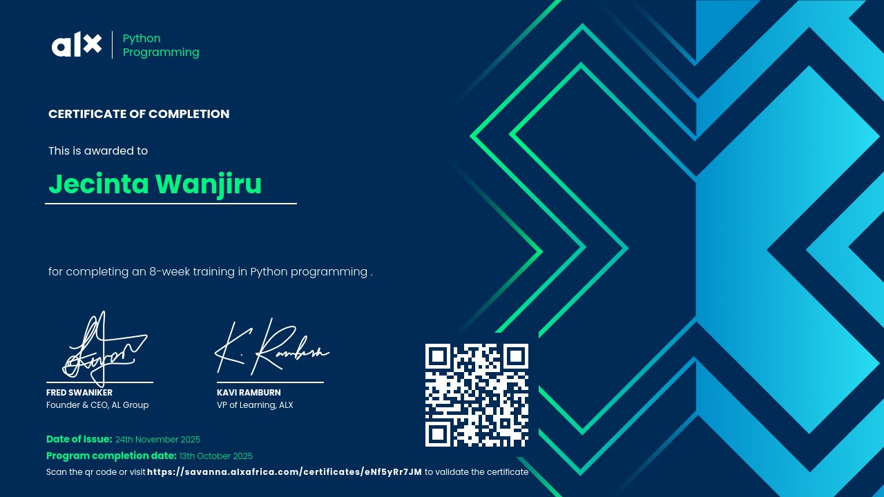
Python Programming
Syntax, object-oriented programming, error handling, and scripting for automation.
-
Data Analytics
SQL for database querying, Power BI for data visualisation, advanced spreadsheet techniques, and data analysis workflows.
-
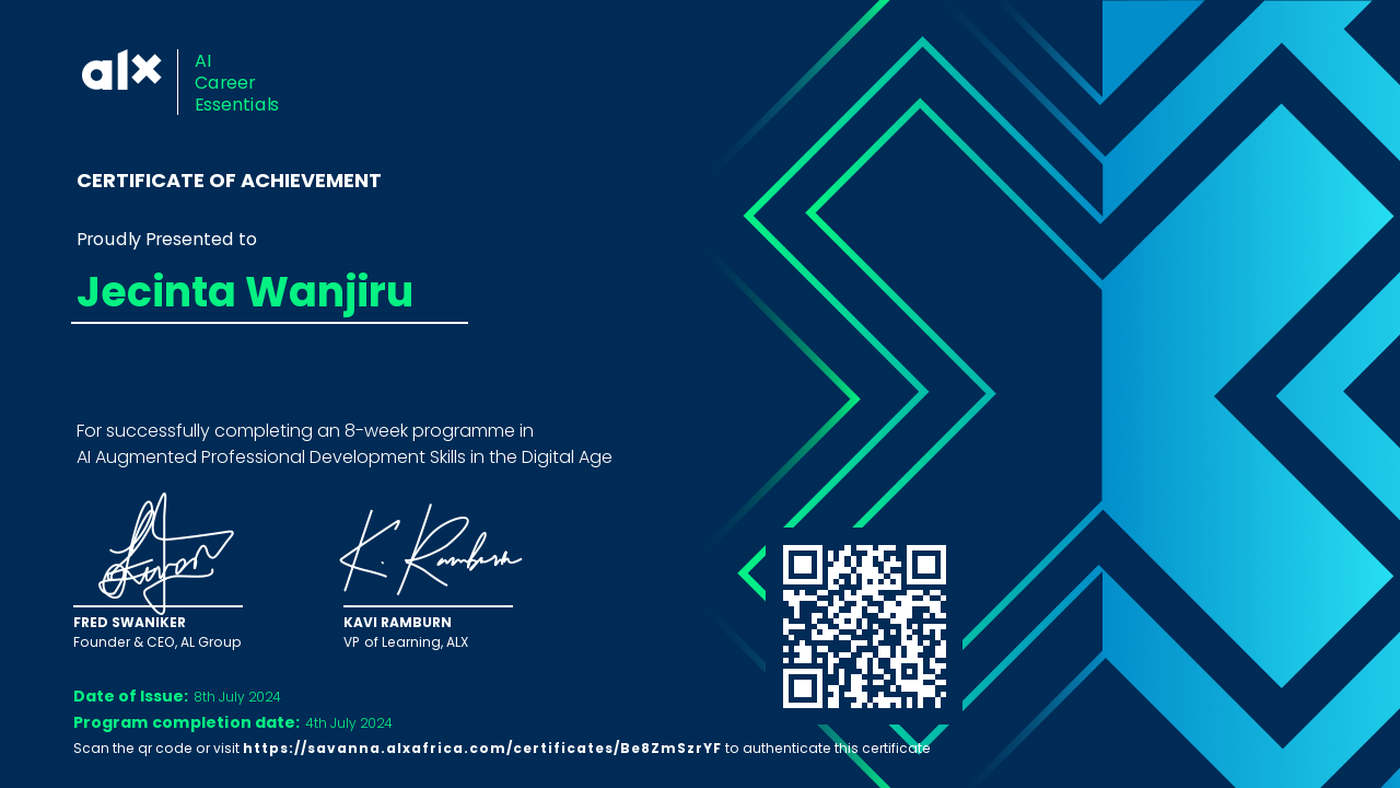
AI Career Essentials
Generative AI tools for content creation, data analysis, workflow automation, and prompt engineering.
-
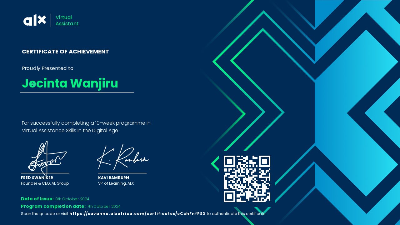
Virtual Assistant
Calendar management, inbox organisation, data entry, social media management, and AI productivity tools.
-
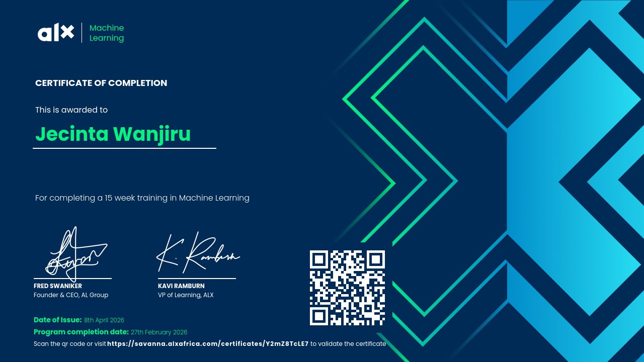
Machine Learning
[Description needed: please tell me what this track covered]
-
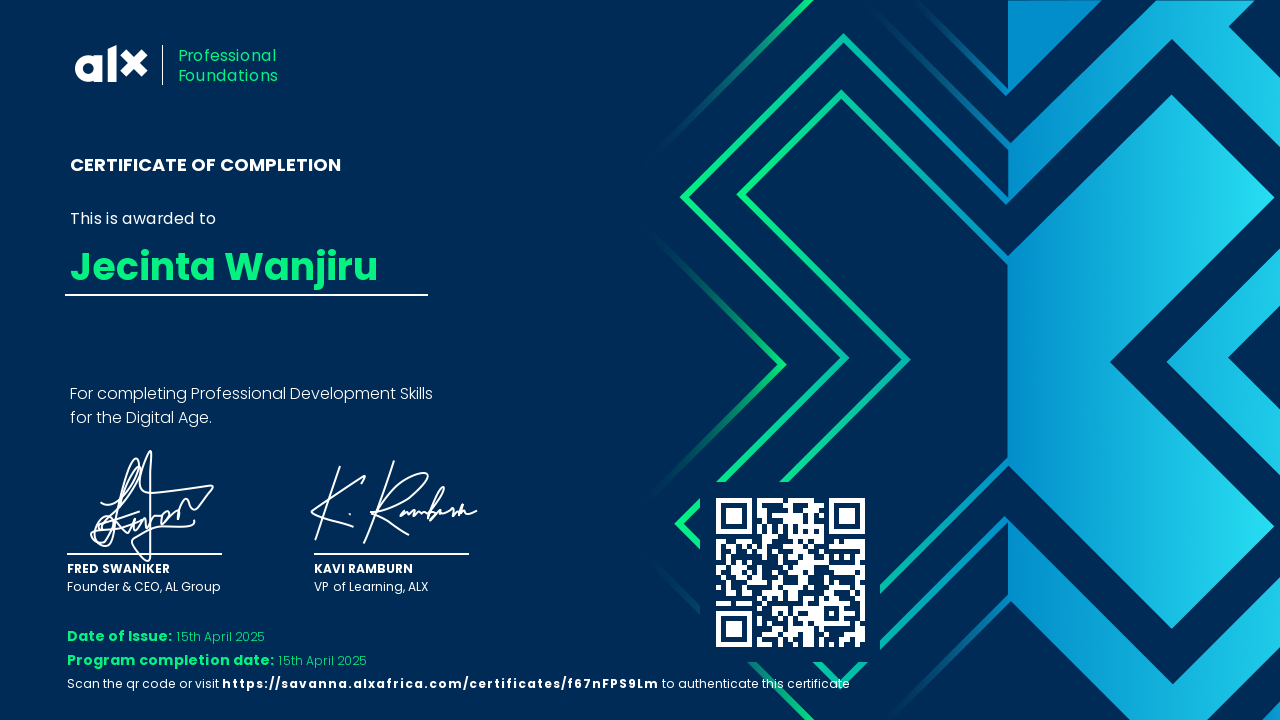
Professional Foundations
[Description needed: please tell me what this track covered]
ESRI
-
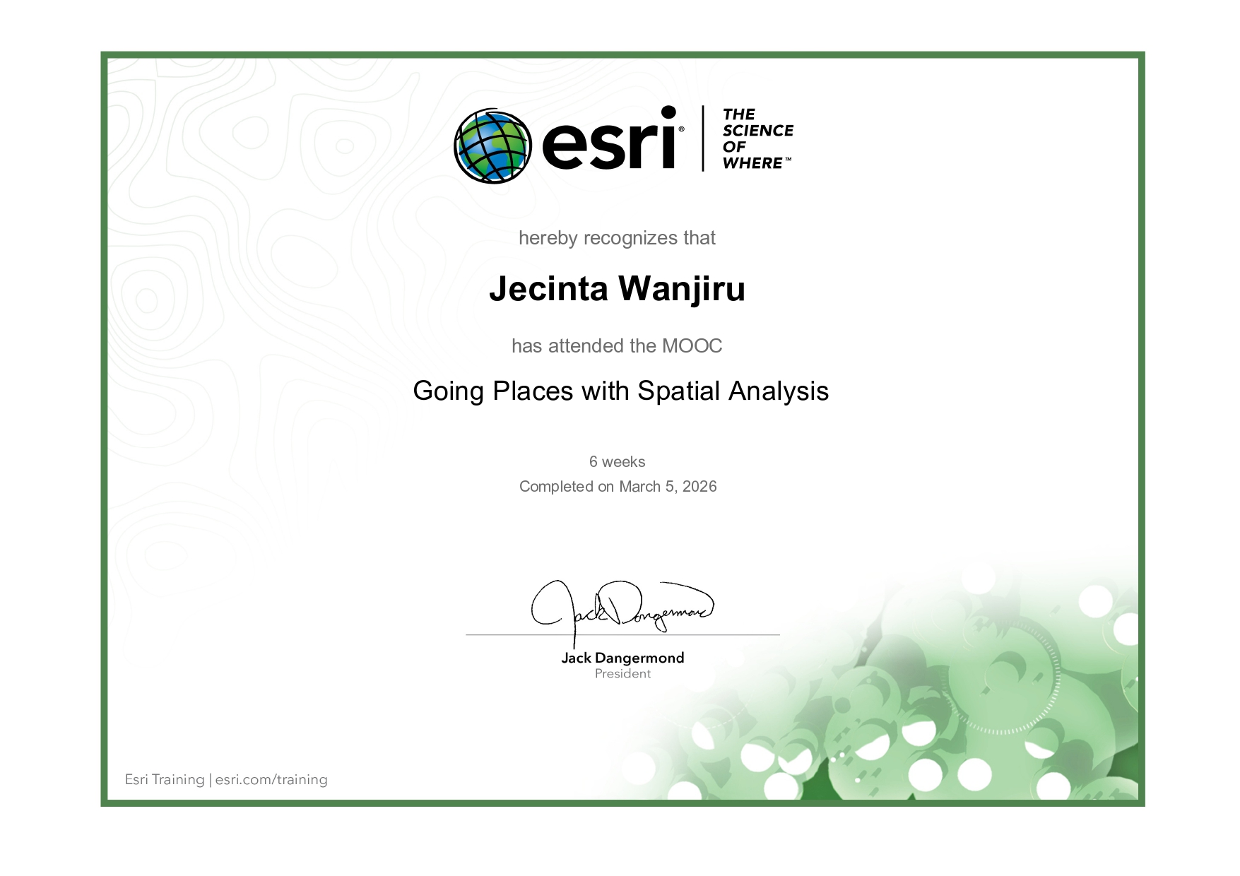
Going Places with Spatial Analysis
Six-week ESRI MOOC introducing spatial data analysis using ArcGIS Online. Covers spatial patterns, descriptive statistics, projection, and hands-on workflows using cloud-based mapping tools.
-
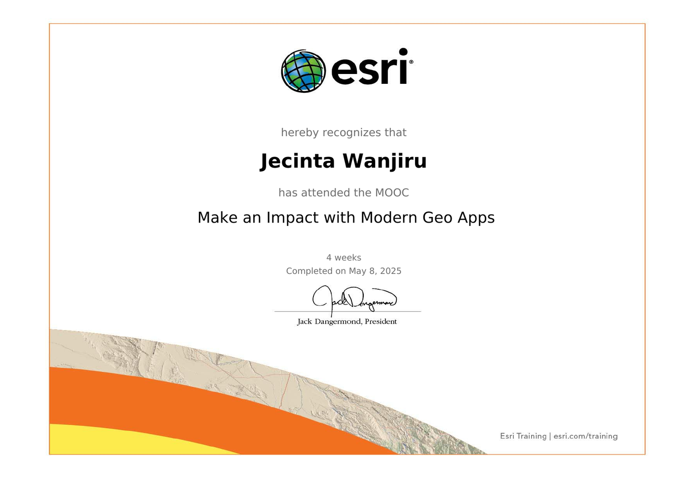
Making an Impact with Modern Geo Apps
Applied use of modern geospatial web applications including ArcGIS Online, Experience Builder, and Dashboards to deliver spatial insights and support decision-making.
RCMRD (Regional Centre for Mapping of Resources for Development)
-
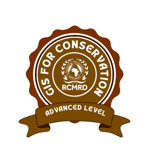
GIS Advanced
[Description needed: what specific skills did this badge cover?]
-
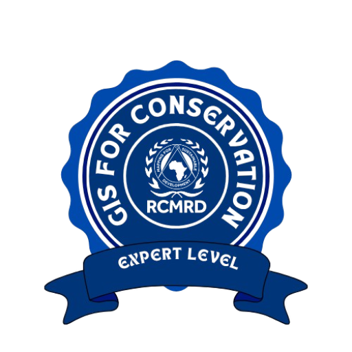
GIS Expert
[Description needed: what specific skills did this badge cover?]
-
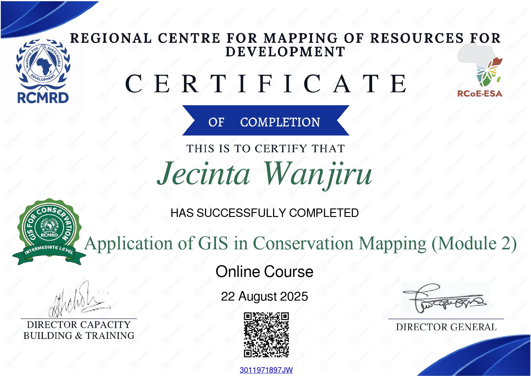
Applications of GIS in Conservation Mapping, Module 2
[Description needed: what does Module 2 cover?]
-
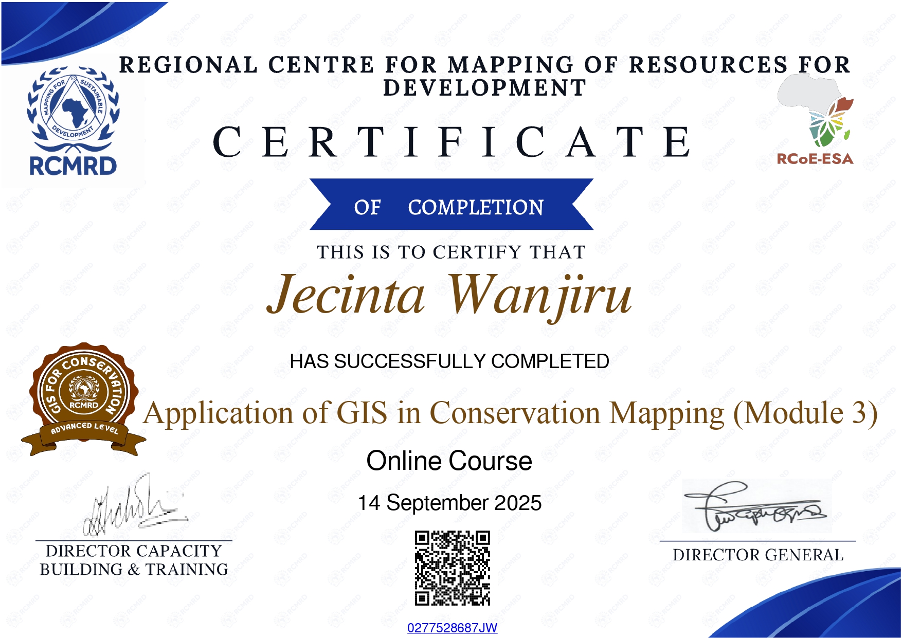
Applications of GIS in Conservation Mapping, Module 3
[Description needed: what does Module 3 cover?]
-
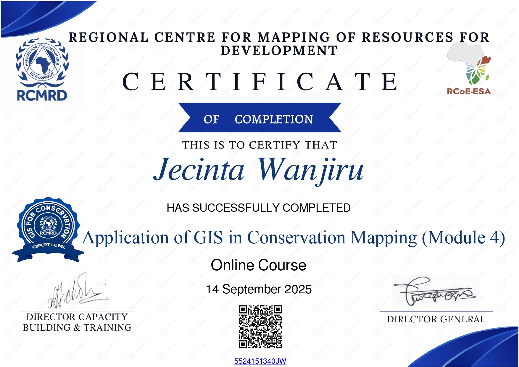
Applications of GIS in Conservation Mapping, Module 4
[Description needed: what does Module 4 cover?]
Volunteer and Leadership
-
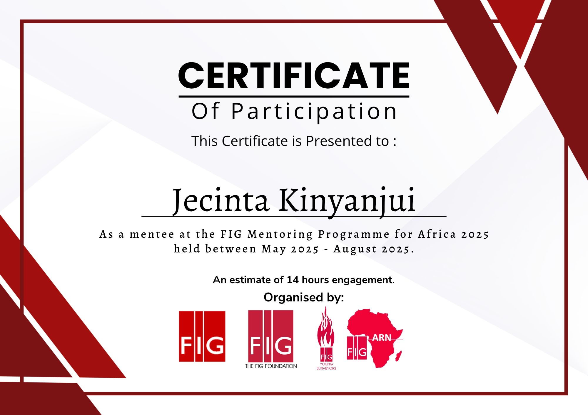
FIG Mentorship Programme
International Federation of Surveyors
[Please confirm: was this mentee or mentor? Which year? Which network?]
-
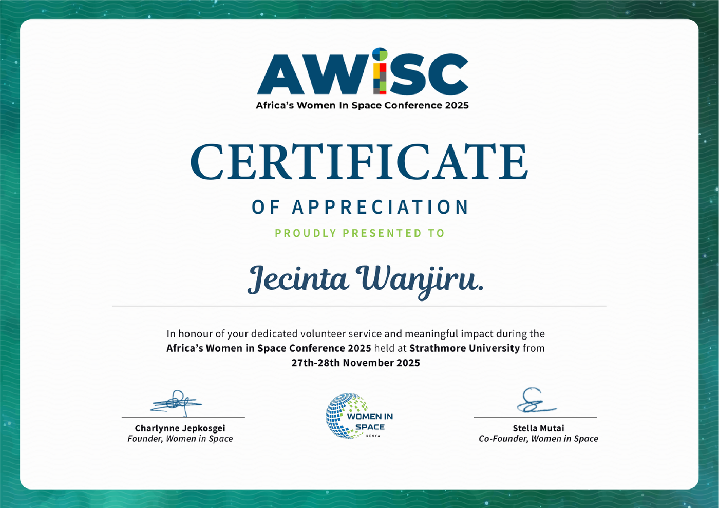
African Women in Space Conference (AWiSC) 2025 Volunteer
Strathmore University, Nairobi | 27 to 28 November 2025
Volunteer at the inaugural AWiSC, organised by Women in Space Kenya, focused on space sciences, gender inclusion in Africa's space ecosystem, and the role of geospatial technology in sustainable development.